![Heavy Rains Bring State Wide Flooding, Detroit Hit Hard [Video]](http://townsquare.media/site/44/files/2019/05/mdot.png?w=980&q=75)
Heavy Rains Bring State Wide Flooding, Detroit Hit Hard [Video]
Water, water, everywhere! And if you think Wednesday morning's West Michigan commute was hard, just thank God you weren't in the Motor City!
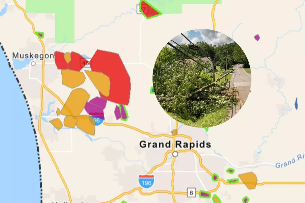
Flood watches and warnings have been issued state wide as heavy rains deluged already high rivers and streams. Detroit was particularly hard hit after rain totals topped 5 inches and led to low lying areas flooding.
Freeway underpasses and ramps were flooded, stymieing morning traffic, and causing some people to abandon their vehicles, leaving behind scores of strewn cars on the roadways.
Here's some video coverage of the flooding west of the Detroit in Dearborn.
As for us here in West Michigan, the National Weather Service has issued a 'Hazardous Weather Outlook' through Sunday that warns of localized flooding in more rain:
Hazardous Weather Outlook
National Weather Service Grand Rapids MI
524 AM EDT Wed May 1 2019

MIZ037>040-043>046-050>052-056>059-064>067-071>074-020930-
Mason-Lake-Osceola-Clare-Oceana-Newaygo-Mecosta-Isabella-Muskegon-
Montcalm-Gratiot-Ottawa-Kent-Ionia-Clinton-Allegan-Barry-Eaton-
Ingham-Van Buren-Kalamazoo-Calhoun-Jackson-
524 AM EDT Wed May 1 2019

This hazardous weather outlook is for portions of southwest Lower
Michigan.

.DAY ONE...Today and Tonight

Additional rounds of rain are expected today, especially this
morning. Some minor flooding is possible along small streams and
in low lying areas. The area that has seen the most rain the last
couple of days and is therefore most susceptible to minor
flooding is south of I-96.


.DAYS TWO THROUGH SEVEN...Thursday through Tuesday

Another round of rain is expected Thursday afternoon and evening
and will likely affect already saturated ground across Southern
Lower Michigan. Flooding in low lying areas will be possible through
the end of the week. River rises will occur in many areas over
the coming days.
More From Mix 95.7