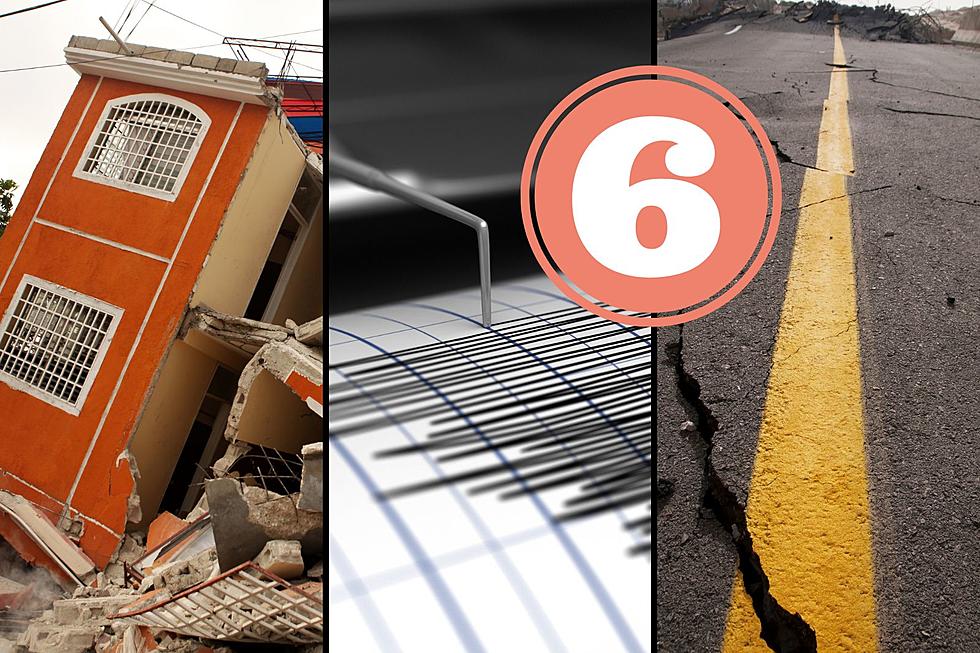
Did You Know Since 1947 Michigan Has Experienced 6 Earthquakes?
When most think of earthquakes the state of California usually comes to mind but Michigan has experienced 6 since 1947. A 7th turned out to be a meteor.

What is a Seismograph?
If you are unfamiliar with a seismograph it is the primary earthquake-measuring instrument that produces a digital graphic recording of ground motion caused by seismic waves.
The first seismograph was invented in 1875 by an Italian physicist by the name of Filippo Cecchi but it wasn't until the early 1900s that America began to use them. It wasn't until 1973 that the state of Michigan began to use them to track potential earthquakes.
Michigan Has Experienced 6 Earthquakes Since 1947
Michigan didn't start measuring earthquakes until 1973 and 5 have occurred since then but the worst was actually in 1947 and those measurements were picked up by another state.
The Earthquake of 1947 in Coldwater
This earthquake caused probably the most intense damage of any that has been recorded in Michigan. Buildings were damaged in Coldwater, Kalamazoo, and the cities that surrounded them. This quake measured a magnitude of 4.6 and its wrath was felt as far away as Cadillac, Cleveland, Ohio, and Chicago, Illinois.
The Earthquake of 2015 in Galesburg
Kalamazoo County hosted another earthquake that was in Galesburg that had a magnitude of 4.2 on May 2, 2015. Even though this quake was strong enough for residents across Southern Michigan to feel their houses shake, and objects fall off the walls, there was no major damage reported.
The Earthquake of 1988 in Wakefield
The largest earthquake to ever rattle the Upper Peninsula was the one that happened in Wakefield on January 14, 1988. This quake registered at 3.6 and if you are ever in the area, some Yupers still remember the ground rattles.
The Earthquake of 1994 in Potterville
An earthquake that registered a magnitude of 3.5 happened in Potterville on September 2, 1994, near the state capitol of Lansing. Rumbles from this earth shaker felt as far away as Grand Rapids, and Jackson.
The Earthquake of 2015 in Union City
There was a second earthquake that took place in 2015 which was only 30 miles from the one that happened in Galesburg two months earlier. This quake had a magnitude of 3.3 on June 30, 2015, in Union City.
The Earthquake of 2011 in Grosse Pointe
Grosse Pointe is a suburb of Detroit so you could imagine the potential damage an earthquake could create. This quake had a magnitude of 3.0 on February 23, 2011, although some residents felt the ground rattle most didn't even know it happened.
Meteor Causes Seismic Event in 2018
On January 16, 2018, over 300 Michiganders reported feeling the ground shake and thought it was an earthquake. It turned out to be a meteor that had made a loud boom causing the ground to shake and registering a magnitude of 2.0. This happened near New Haven but was also felt as far away as Ohio and Ontario, Canada.
Data used to create this article came from the Michigan Weather Center.