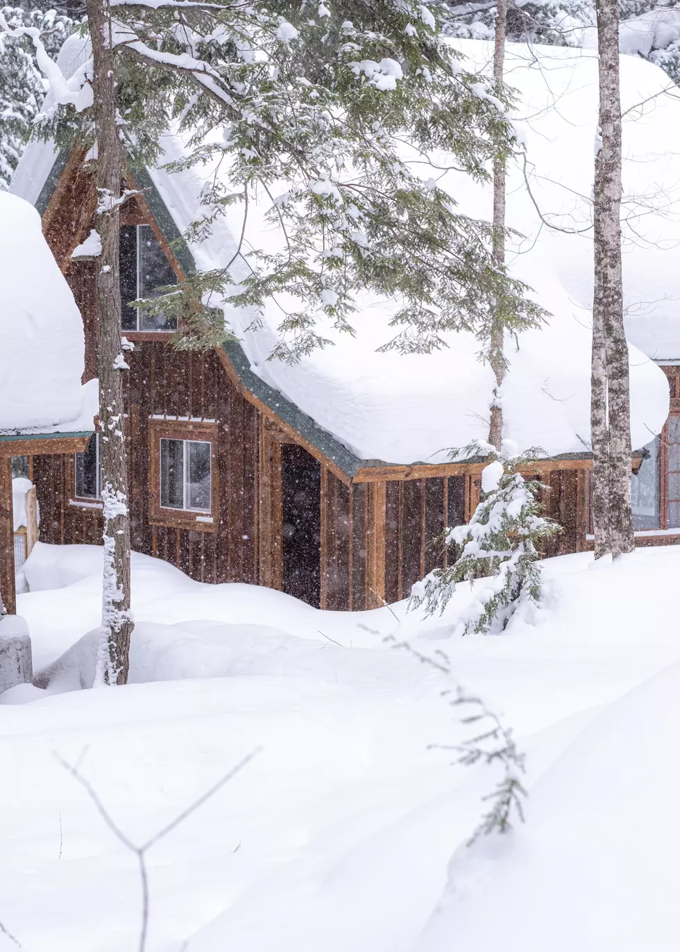
Walloping 52 Inches of Snow Forecast for Michigan’s Western Upper Peninsula in Christmas Week Blizzard
Weather forecasters across the upper tier of the country are warning anyone who will be traveling for the Christmas holiday in 2022 to prepare for potentially impassable conditions as a severe winter weather system is set to impact the region.
Perhaps the most extreme snowfall forecast will be for the far western Upper Peninsula around Ironwood. The Travel Ironwood Facebook page shared a weather forecast link for snowfall total projects from this storm. Ironwood clocks in as the winner with the highest total on the map, 52.8 inches.
John Dee, a weather and snow enthusiast from the Keweenaw Peninsula has broken down the winter storm on his blog:
The European Model has the snows arriving around midnight Wednesday night in IA, MN, WI and the UP and explodes the low into an extremely strong and quite massive entity. It would also keep snows flying across the upper Great Lake into Christmas evening

As always, snowfall forecasts can change drastically especially several days out. Best advice is to follow updates from the National Weather Service Marquette Office which covers the majority of the Upper Peninsula.
More to See: NMU Student Jumps in Frigid Lake Superior to Curb Depression
If you do happen to be stuck at home during a Christmas blizzard, check out these other weather extremes:


