Another Winter Weather Advisory – Freezing Rain, Ice are the Issues
We've seen multiple warnings and advisories in West Michigan this week - and the National Weather Service has issued another beginning Saturday evening.

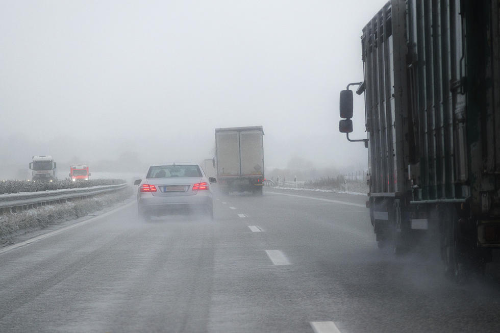
A Winter Weather Advisory goes into effect for almost all of West Michigan at 6 p.m. Saturday through 4a.m. Sunday. For southwest Michigan counties closer to the Indiana border, the advisory begins at 4p.m. Saturday.
While Saturday will be pretty quiet with partly to mostly sunny skies and a high near 30, the National Weather Service is predicting freezing rain moving in this evening, with total ice accumulations of up to one tenth of an inch.

While that may not sound like much, the NWS warns, "It doesn't take much to make roadways slick".
Difficult travel conditions are possible tonight into tomorrow morning due to icy roads. Secondary roads, bridges and overpasses, parking lots, and sidewalks are most susceptible.

West Michigan residents are urged to slow down and use caution while traveling, and to prepare for possible power outages.
Looking ahead, Sunday will be cloudy and cold, with a temperature falling to around 16 by 5p.m. and wind gusts as high as 30 mph. There's a 30 percent chance of snow Sunday night through 1p.m. Monday. Monday night the low could be around -1.
KEEP READING: Get answers to 51 of the most frequently asked weather questions...
More From Mix 95.7